


Mapping Our World
This geography course teaches map skills such as time zones, topographic maps, and map projections while you learn about countries around the world, region by region.
Mapping Our World is a complete geography course for ages 6 to18 years. It is hands-on and family-style, meant for families to learn together. Learn more about how Layers of Learning works.
Mentor Guide
This is a guide for the mentor to learn how to teach Layers of Learning Geography, plan a unit, and evaluate student work. We highly recommend purchasing and reading this before beginning Mapping Our World.
Full Mapping Our World Course
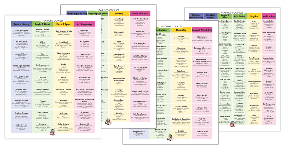
Mapping Our World consists of nine units, which are for all ages from 6 to 18 and can be used repeatedly, year after year. The full Mapping Our World course contains all nine units. It can be purchased as a PDF download.
Mapping Our World Components
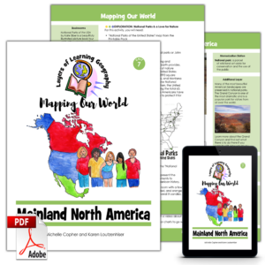
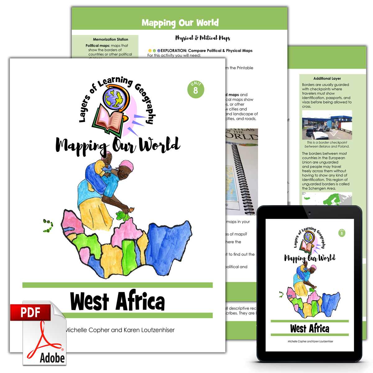
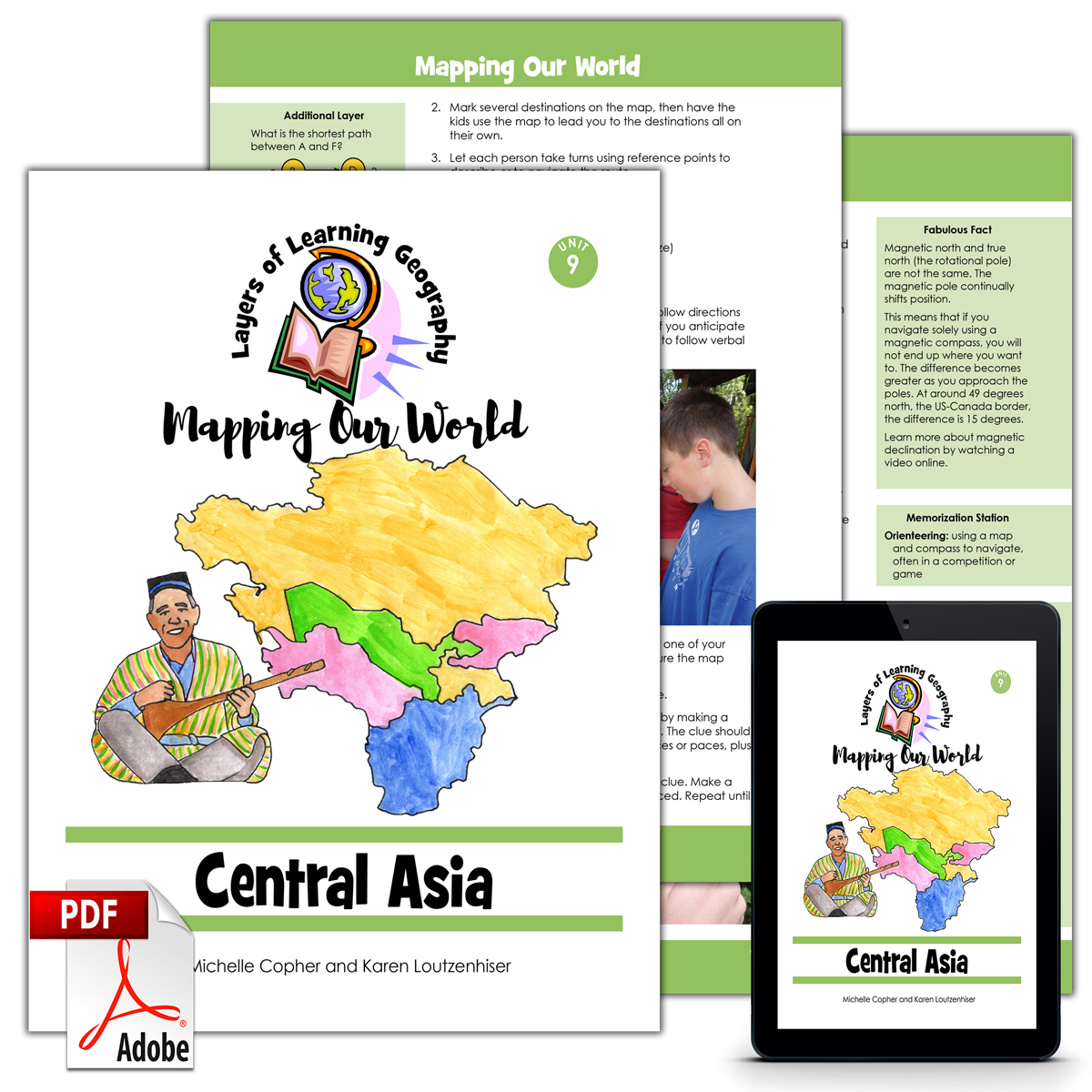
These are the nine units contained within the Mapping Our World course. Here they can be purchased one by one as stand alone units.
Student Journal
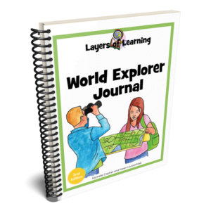
The World Explorer Journal is an interactive atlas and encyclopedia that students build themselves with instructions from the geography units in all four years of Layers of Learning Geography. Choose between paperback and PDF versions.

Printable Pack
The Printable Pack is included with every Mapping Our World version above. If you purchase Mapping Our World from Layers of Learning, you already have the Printable Packs. This is for those who purchased Mapping Our World elsewhere. You can retrieve the Printable Pack, below, with the coupon code inside your copy of Mapping Our World.