
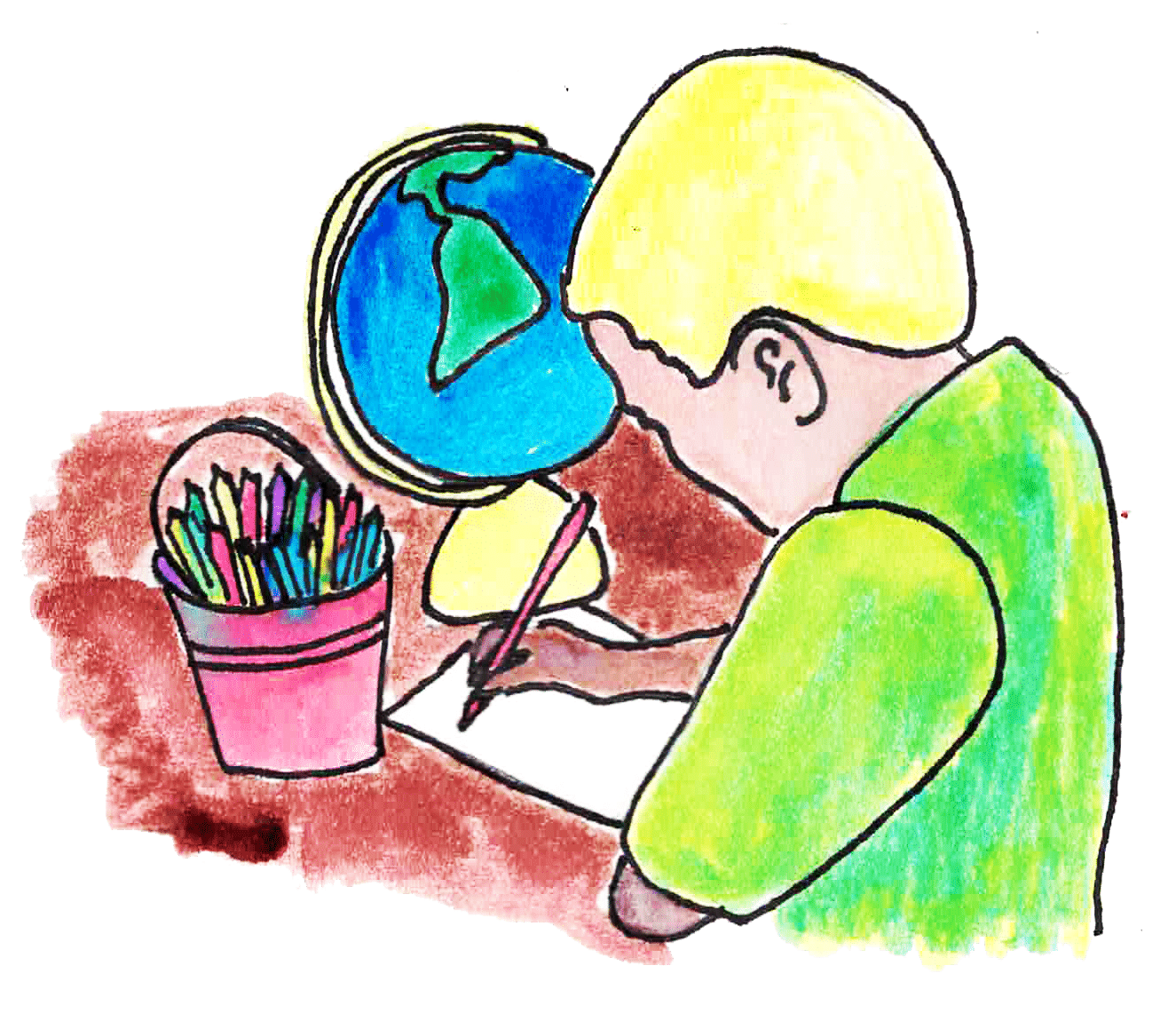
Geography
With Layers of Learning geography you explore people, countries, languages, cultures, land forms, landmarks, and demographics all over the earth . . . in short, everything about the world as it is today. You research, question, create, and discover with hands-on activities from games to recipes to crafts and more. Try some now.
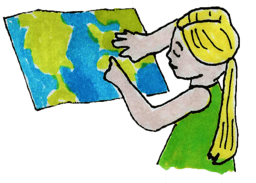
Smart Ways To Complete U.S. State Maps
Get maps of each of the fifty states in the United States, learn how to create different kinds of maps, then grab more free printables. You’ll find a free statehood notebooking page, state Scattergories game, and U.S.A. BINGO.
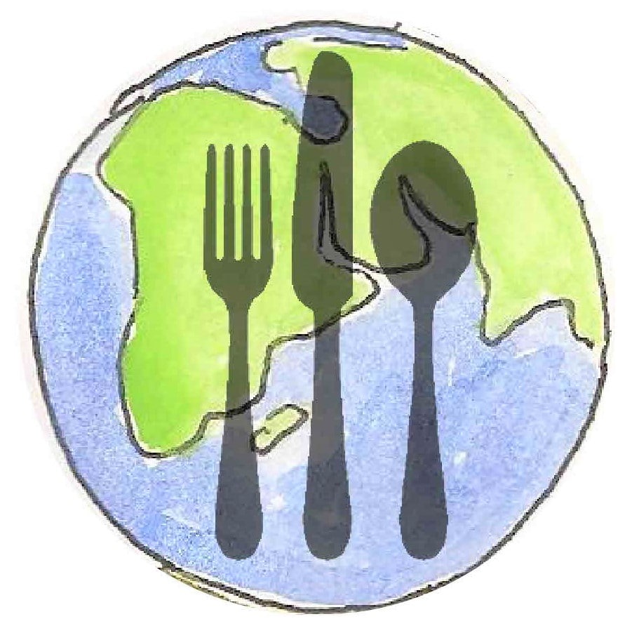
Around The World Feast
Host an Around the World feast as you learn about places in the world. Tasting foods from around the globe is one of our favorite geography lessons!
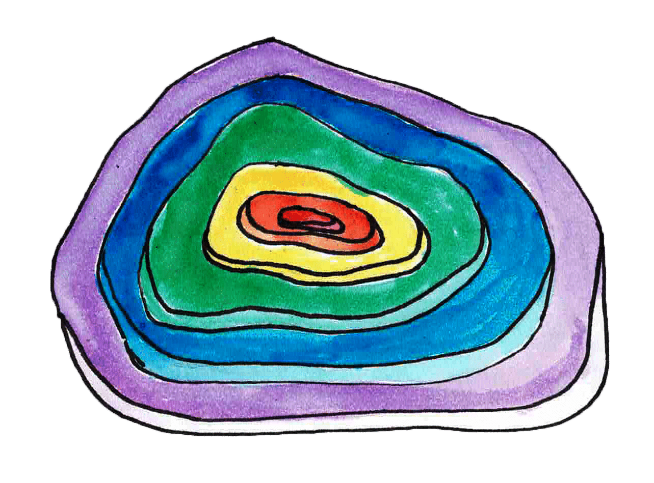
Colorful and Stunning Topographic Maps
This mapping lesson is 100% hands-on as you build your own 3-D model to understand more fully how topographic maps work.
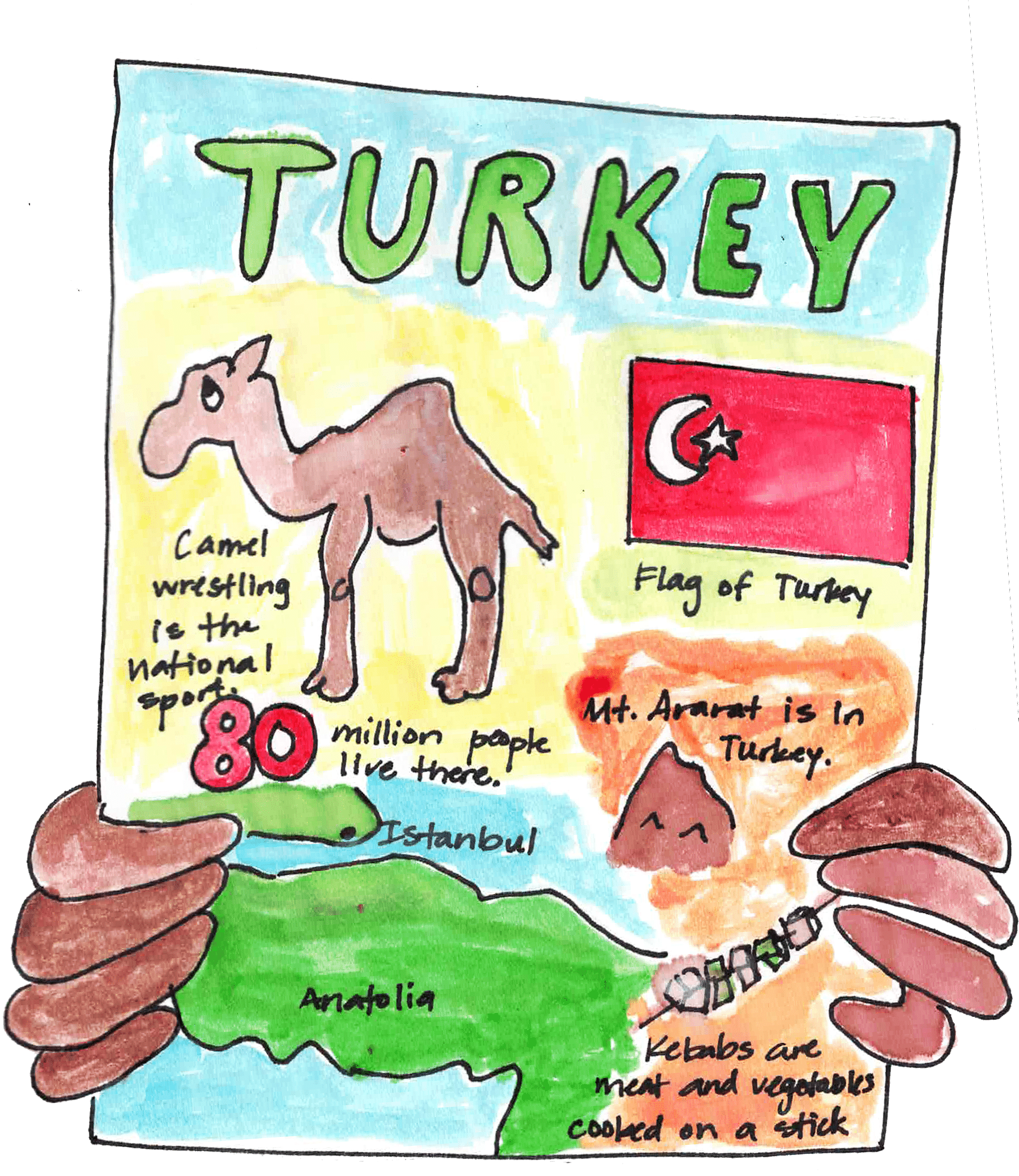
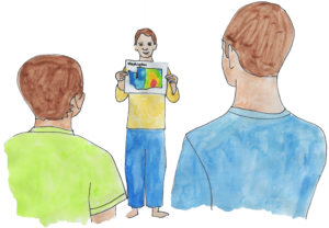
Easy Illustrated Fact Sheets For Any Subject
Write an illustrated fact sheet about Turkey along with us, or use the same concept to create an illustrated fact sheet about anything you’re learning about right now.
Ocean Floor, Ocean-In-A-Bottle, and Ocean Lapbook
Start by choosing some books to read about oceans then choose from among the printable maps and lapbook plus an ocean in a bottle craft.
Free Printable Country Fact Sheet For An Easy Geography Lesson
Use this country fact sheet for any country you’re learning about. Explore the country and fill in the fact sheet with all sorts of fascinating facts from around the world.
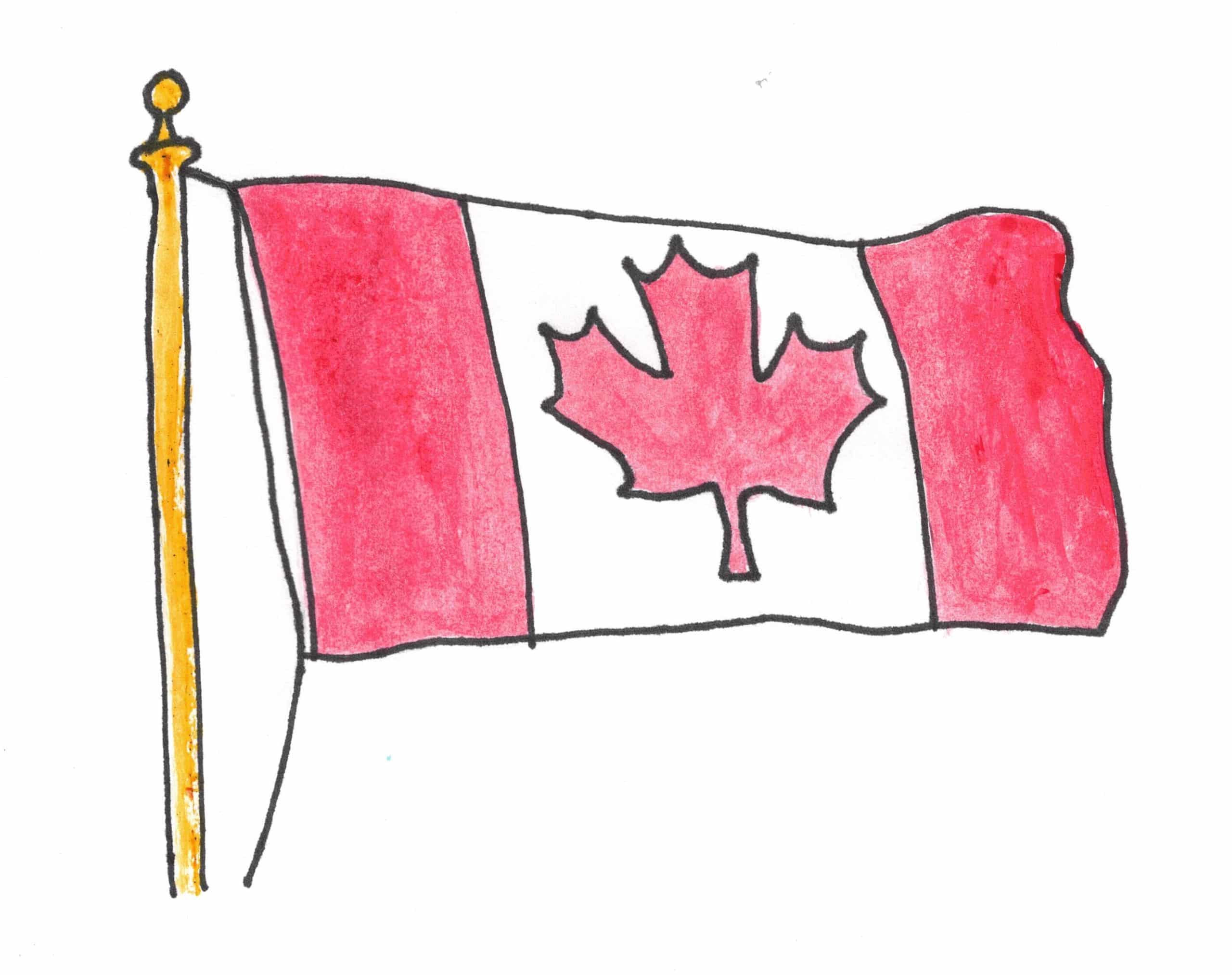
Free Printable Map of Canada
Learn about Canada by adding important landmarks and locations to this printable map.
Mastering Map Grids: Latitude and Longitude With a Colorful Craft
Learn about the equator, prime meridian, and lines of latitude and longitude in this colorful map grid exploration.
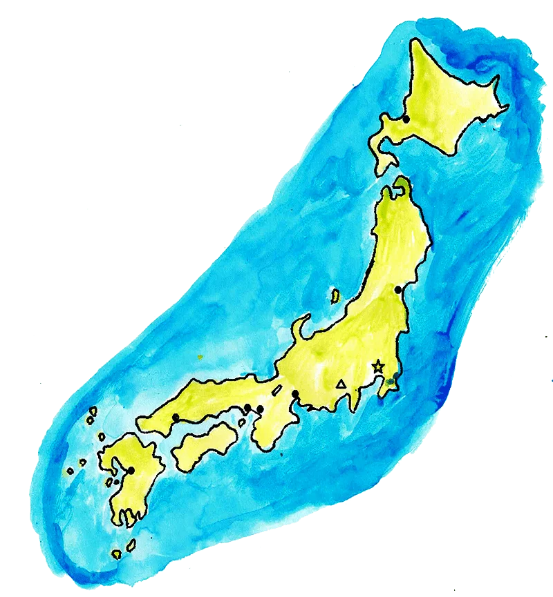
Learn About Japan With a Free Printable Map
Can you use an atlas to find all of these places and add them to this printable map of Japan? Mapping to learn is one of the most effective ways to familiarize yourself with the world.
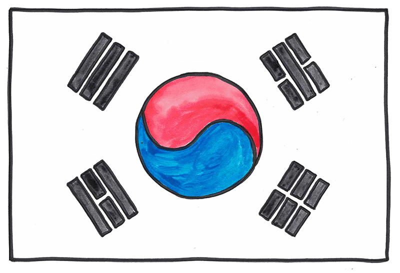
How To Make a Simple Korean Paper Fan Craft
Learn all about the differences between North and South Korea and explore these two countries that share one peninsula. Craft some traditional Korean paper fans too.
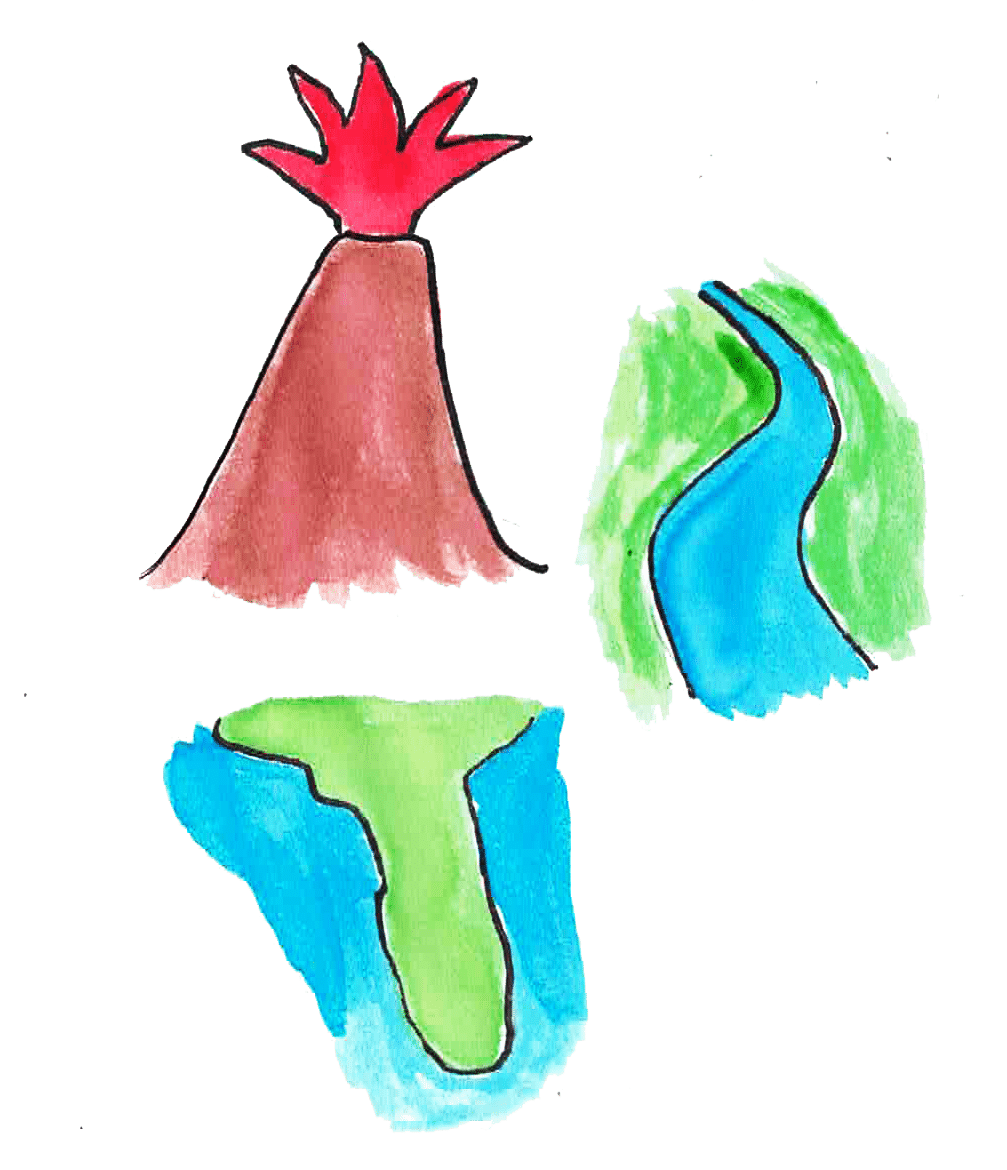
Play a Free Landforms of the World Memory Game
Printable landforms game that will help you memorize some of the common landforms on earth.
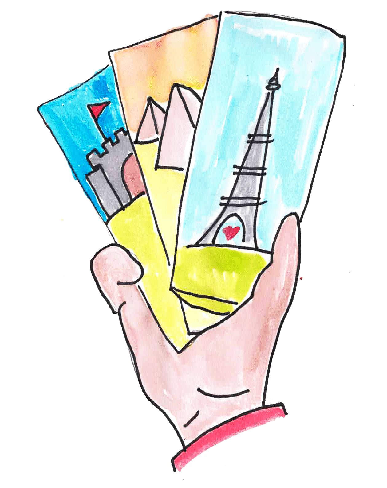
Make Your Own Travel Brochure For Any Country
Making your own travel brochures is a great way to have a place really stick in your mind. Explore the most interesting things you might see and include them all in your printable tri-fold brochure.